
Mount Rainier: Fire and Ice
Synopsis
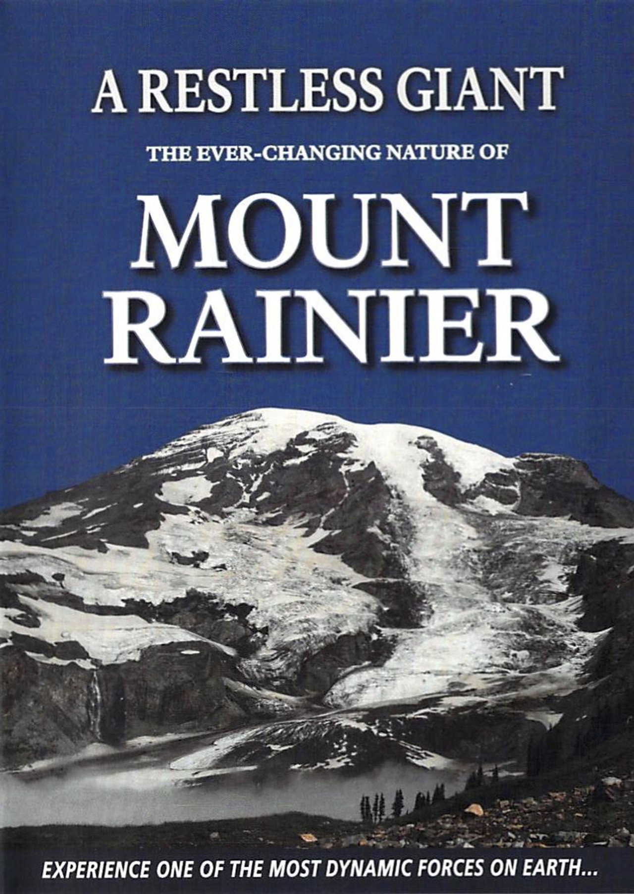
Mount Rainier has 34 square miles of glacier ice, shaped by volcanic activity and weathering over thousands of years.
Synopsis
Mount Rainier, a stratovolcano in Washington State, rises 14,410 feet above sea level. The film details the geological history of the mountain, formed over millions of years by volcanic eruptions, erosion, and glacial activity. It features time-lapse photography to illustrate the movement of glaciers, including the Nisqually Glacier, which shapes the mountain's terrain. The documentary also discusses past eruptions and the ongoing geological processes that continue to alter Mount Rainier's structure.
Deep Dive
Why Watch
- See how Mount Rainier was formed over millions of years.
- Find out what caused a great mudflow six thousand years ago.
- Watch the effects of weathering on the mountain's landscape.
Did You Know
- Mount Rainier stands at fourteen thousand four-hundred and ten feet.
- The mountain reached its full height seventy-five thousand years ago.
- Mount Rainier has erupted sporadically for the last ten thousand years.
- The mountain bears thirty-four square miles of glacier ice.
Perfect For
Frequently Asked Questions
How tall is Mount Rainier?
Mount Rainier stands at fourteen thousand four hundred and ten feet.
How long ago did Mount Rainier reach its full height?
Mount Rainier reached its full height seventy-five thousand years ago.
How much glacier ice does Mount Rainier bear?
Mount Rainier bears thirty-four square miles of glacier ice.
What are people saying?
Play More Like This






Where else to watch



Related Films
Is this your film?
If you made this film or hold the rights to it, we'd like to talk. We can license it and pay you a share of what it earns.
Comments