
Angkor Wat
Synopsis
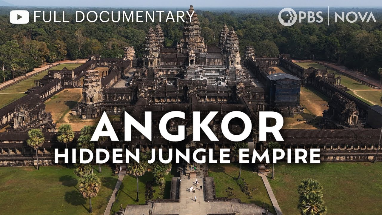
Aerial archaeologists use laser technology to map the ruins of Angkor, revealing a city that once spanned 3,000 square kilometers.
Synopsis
Damien Evans, an aerial archaeologist, maps the ruins of Angkor Wat, once the largest city on Earth. Using laser technology mounted on helicopters, he uncovers the vast extent of this ancient metropolis, which spanned 3,000 square kilometers. The documentary reveals how the Khmer Empire thrived for six centuries before succumbing to a catastrophic drought. Meanwhile, Glenn Borian, a lead architect for the World Monuments Fund, works to preserve the fragile temples that remain, facing immense pressure to protect this UNESCO World Heritage site.
Deep Dive
Why Watch
- Meet Damien Evans mapping Angkor's ruins from the air.
- Find out how ancient droughts led to Angkor's collapse.
- See the latest laser technology uncover hidden structures.
Did You Know
- Angkor was the largest settlement complex built before the Industrial Revolution.
- The area of Angkor was the size of modern-day Los Angeles.
- Droughts lasting 20 to 30 years occurred right before Angkor's collapse.
- The city was swallowed by jungle just as Europe entered the Renaissance.
Perfect For
Frequently Asked Questions
What was the size of the ancient city of Angkor?
The area of Angkor was the size of modern-day Los Angeles, covering 3,000 square kilometers.
What caused the collapse of the Angkor civilization?
The collapse was likely due to a catastrophic drought that occurred during a period of low rainfall, which affected their water system and rice production.
Who is Damien Evans?
Damien Evans is an aerial archaeologist mapping the ruins of the lost civilization of Angkor using new technologies like laser mapping.
What are people saying?
Play More Like This




Where else to watch





Browse more like this




Related Films
Is this your film?
If you made this film or hold the rights to it, we'd like to talk. We can license it and pay you a share of what it earns.
Comments